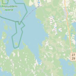
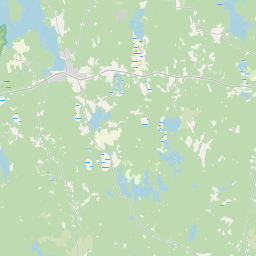
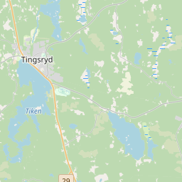
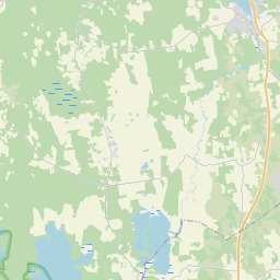
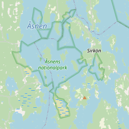
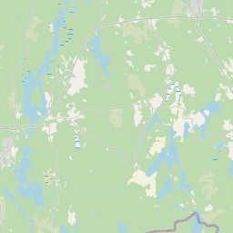
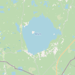
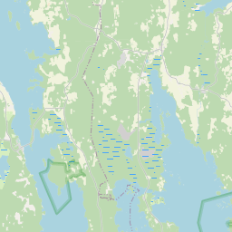
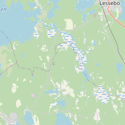
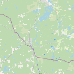
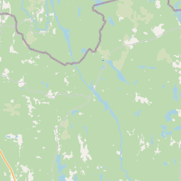
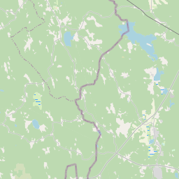
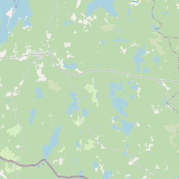
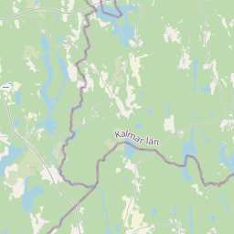
Hiking

There are lots of places and hiking trails to discover here if you like hiking. Everything from shorter hiking trails of a couple of kilometers to the Utvandraleden, which winds 12 miles through three municipalities.
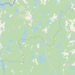
In the map window right here below, hiking possibilities are shown. It is a portal to Tingsryd's guide in the Naturkartan that you can take bring into nature via an app on your phone.


style="position: relative; width: 100%; height: 0; padding-bottom: 70%"
>

style="position: absolute; top: 0; left: 0; width: 100%; height: 100%;"
data-naturkartan-menu="fullscreen"
data-naturkartan-style-control="fullscreen"
data-naturkartan-measure-control="fullscreen"
data-naturkartan-print-control="fullscreen"
data-naturkartan-importance-control="false"
data-naturkartan-a11y-control="false"
data-naturkartan-scroll-zoom="false"
data-naturkartan-quick-categories="33"
data-naturkartan-query="guide=502&category=33"
data-naturkartan-strict="guide"
data-naturkartan-guide="502"
>
cbis:385064cbis:392259cbis:396061cbis:1396751cbis:1396768cbis:391965cbis:2000009cbis:789328cbis:1396760
Leaflet © OpenStreetMap contributors